Contact | RSS | EN | DE | EL | ES | FR | IT | RU

Karthala Volcano

Updated: 15 mai 2024 15:37 GMT -
Shield volcano 2361 m (7,746 ft)
Comores, western Indian Ocean, -11.77°S / 43.36°E
Condition actuelle: en vigilance - niveau agité (2 sur 5)
Last update: 5 oct. 2022 (Smithsonian / USGS Weekly Volcanic Activity Report)
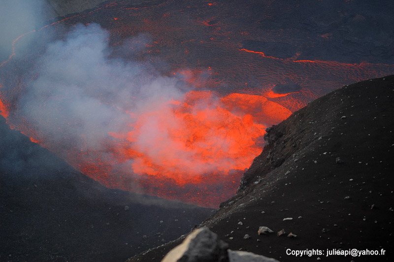
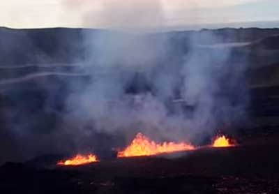
Karthala with the lava lake in the summit crater (2006 eruption)

Karthala is a large shield volcano with a summit caldera on La Grande Island of the Comores in the western Indian Ocean. It erupts every few years and often produces voluminous lava flows and sometimes has a lava lake in the crater of the caldera.

[smaller] [larger]
Style éruptif tipique: Effusive. Temporary lava lakes.
Eruptions du volcan Karthala: 1808, 1814, 1821, 1828, 1830, 1833, 1848, 1850, 1855, 1857, 1858, 1859, 1860, 1862(?), 1872, 1876, 1880, 1883-84, 1904, 1910, 1918, 1928, 1948, 1952, 1956, 1965, 1972, 1977, 1991, 2005, 2005, 2006

Derniers séismes proches

No recent earthquakes
HeureMag. / ProfondeurDistance / Lieu

Introduction

Karthala, a typical and very active shield volcano, forms the southern part of the Comores island La Grande Comore (also known as Ngazidja Island). It erupted twice in 2005 and caused major problems due to extensive ash fall and contamination of drinking water.

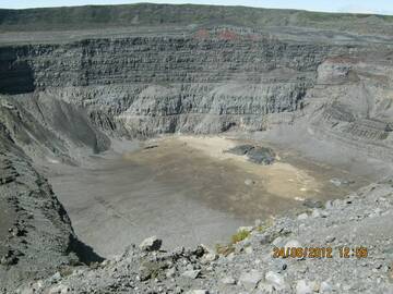
Karthala has an elongated 3 x 4 km summit caldera created by repeated collapse, and has elongated rift zones extend to the NNW and SE from the summit. Historical eruptions both from summit and flank vents have repeatedly modified the shape of the caldera. Many lava flows have reached the sea on both sides of the island. A lava flow during the euption in 1860 traveled from the summit caldera about 13 km to the NW, reached the sea at the western coast north of the capital city of Moroni.

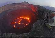
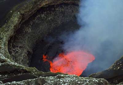
Karthala Volcano Photos
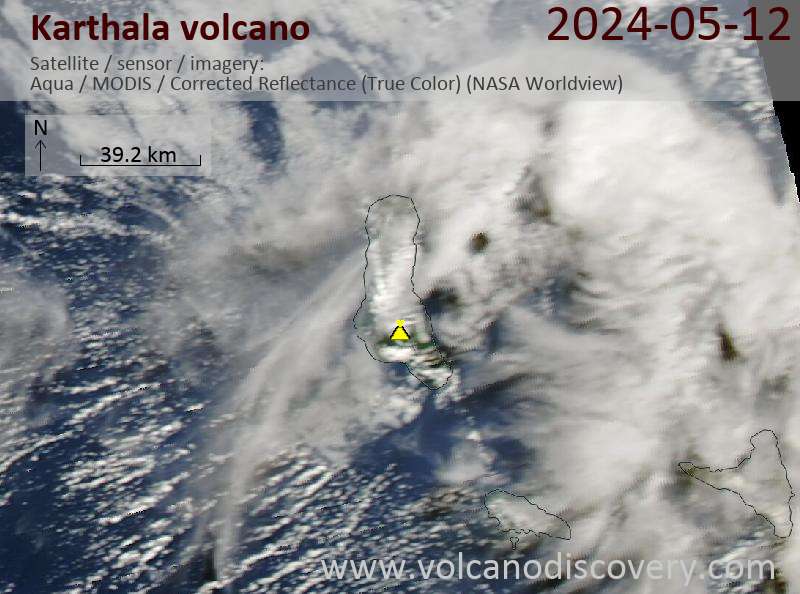
Latest satellite images

Karthala satellite image sat1Karthala satellite image sat2

Documentation:


Le Karthala, est un volcan bouclier très actif, qui constitue la partie sud de l'Île de la Grande Comore (également connu sous le nom de l'île de Ngazidja). Il est entré en éruption deux fois en 2005 et causa des problèmes majeurs en raison des fortes retombées de pluies de cendres et de la contamination des eaux potables..

Le Karthala possède une caldeira sommitale étendue de 3 Km x 4 km, formée par des effondrements successifs, et prolongée par les zones de rift s'étendant depuis le sommet vers les directions NNO et SE. Les éruptions historiques issues d'évents dans la zone sommitale et sur ses flancs, ont modifié à plusieurs reprises la morphologie de la caldeira. De nombreuses coulées de lave ont atteint la mer des deux côtés de l'Île. Une coulée de lave, lors de l'éruption de 1860 a voyagée depuis la caldeira sommitale au alentour de 13 Km vers le NW, et fini par atteindre la mer sur la côte occidentale au nord de la capitale, la ville de Moroni.
mer., 5 oct. 2022, 14:00

Karthala volcano (Grand Comore Island) - Smithsonian / USGS Weekly Volcanic Activity Report for 28 September-4 October 2022 (Continuing Activity)

According to the Direction Générale de la Sécurité Civile (DGSC) – Comores on 4 October, the Observatoire Volcanologique du Karthala (OVK) reported that activity at Karthala had significantly declined during the previous few days. OVK recommended that the Alert Level remain at Yellow (the second lowest level on a four-level scale). ... Read all
jeu., 29 sept. 2022, 10:00

Karthala volcano (Grand Comore Island) - Smithsonian / USGS Weekly Volcanic Activity Report for 28 September-4 October 2022 (Continuing Activity)

According to the Direction Générale de la Sécurité Civile (DGSC) – Comores on 4 October, the Observatoire Volcanologique du Karthala (OVK) reported that activity at Karthala had significantly declined during the previous few days. OVK recommended that the Alert Level remain at Yellow (the second lowest level on a four-level scale). ... Read all

Sur cette page:

Why is there advertising on this site?
Copyright: VolcanoDiscovery ou autres sources indiquées.
Utilisation des documents: Les textes, les images et les vidéos de ce site internet sont protégées par copyright. Toute reproduction et tout usage sans accord préalable ne sont pas autorisés. Si vous désirez acquérir pour certains documents (photos, vidéos, textes ou autres) le droit de reproduction, d'édition et, plus généralement, de toute utilisation destinée à un usage public, qu'elle soit commerciale ou pas, vous êtes priés de nous contacter.
Volcanoes & Earthquakes
VolcanoDiscovery Home
Volcans | Séismes | Photos | Actualités | App
Adventure & Study Travel
Tours to Volcanoes and Volcanic Areas: walking tours, photo tours, study tours
Voyages |
Get our newsletter!
Company info
Contact | Mentions légales | Terms & conditions
Follow us
Follow us on facebook Follow us on Instagram Follow us on Twitter Visit our Youtube channel
EN | DE | EL | ES | FR | IT | RU
VolcanoDiscovery GmbH, Germany, Reg. nr.: HRB 103744, EU Tax Id: DE 297 465 123 owned and created by
Dr. Tom Pfeiffer, volcanologist, volcano photographer, tour organizer member of
IAVCEI
IAVCEI
Vulkanologische Gesellschaft
Volcanological Society
Ecotourism Greece
Ecotourism Greece
RUV insurance
Insured by R+V
VolcanoDiscovery © 2004- All Rights Reserved | Privacy - Changer Préférences