Lanzarote Volcano
Updated: 21 mai 2024 01:44 GMT -
shield volcano 670 m
Canary Islands (Spain), 29.01°N / -13.75°W
Condition actuelle: normal / en sommeil (1 sur 5)
Canary Islands (Spain), 29.01°N / -13.75°W
Condition actuelle: normal / en sommeil (1 sur 5)
Last update: 11 mars 2022
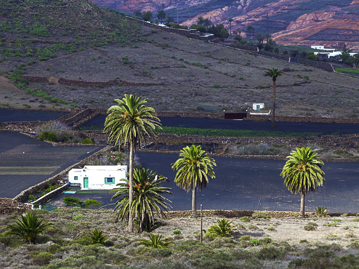
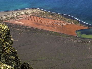
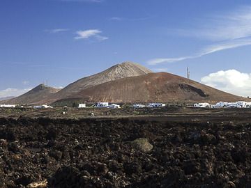
The 60-km-long island of Lanzarote at the NE end of the Canary Islands contains the largest concentration of youthful volcanism in the Canaries.
[smaller] [larger]
Eruptions du volcan Lanzarote: 1824
Derniers séismes proches
| Heure | Mag. / Profondeur | Distance / Lieu | |||
Introduction
Pleistocene-and-Holocene cinder cones and lava flows erupted along NE-SW-trending fissures are found throughout the low-altitude arid island and on smaller islands to the north. The largest historical eruption of the Canary Islands took place during 1730-36, when long-term eruptions from a NE-SW-trending fissure formed the Montañas del Fuego and produced voluminous lava flows that covered about 200 sq km. The lava flows reached the western coast along a broad, 20-km-wide front. The villages of Maretas and Santa Catalina were destroyed, along with the most fertile valleys and estates of the arid island. An eruption during 1824 produced a much smaller lava flow that reached the SW coast. Source: Smithsonian GVPLanzarote Volcano Photos
Les salinas del Rio à Lanzarote (Photo: Tobias Schorr)
Les cônes de scories de Mña de Los Dolores à Tajaste/Lanzarote (Photo: Tobias Schorr)
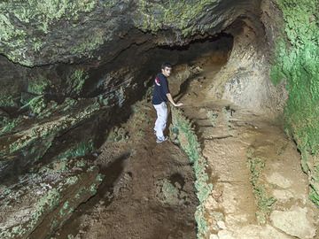
À l'intérieur d'un tube de lave près de la Caldera Blanca à Lanzarote. Sur la photo également Aurélien Douvert. (Photo: Tobias Schorr)
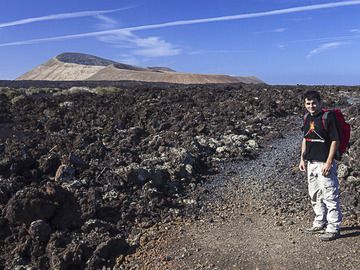
Notre nouveau équipier Aurélien Douvert en route vers la Caldera Blanca à Lanzarote (Photo: Tobias Schorr)
Latest satellite images